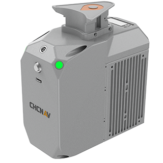
CHCNAV Alpha Air AA450 LiDAR System
The CHCNAV Alpha Air AA450 LiDAR System is a cutting-edge solution for construction and surveying professionals looking to achieve unparalleled accuracy in topographic mapping and site analysis. This advanced LiDAR system is engineered for high efficiency, capturing detailed 3D data quickly and reliably, making it an invaluable tool for a variety of applications, including land surveying, environmental monitoring, and infrastructure development.
Featuring a lightweight design, the AA450 is easy to deploy, ensuring that you can maximize productivity without sacrificing mobility. Its robust technology allows for precise measurements, even in complex terrains and diverse environmental conditions. With intuitive software integration, users can seamlessly process and analyze data, transforming raw information into actionable insights.
Whether you’re working on large-scale construction projects or conducting detailed site assessments, the CHCNAV Alpha Air AA450 LiDAR System delivers the precision and performance you need to make informed decisions and drive project success. Equip your team with this state-of-the-art technology to enhance accuracy and efficiency on every job site.