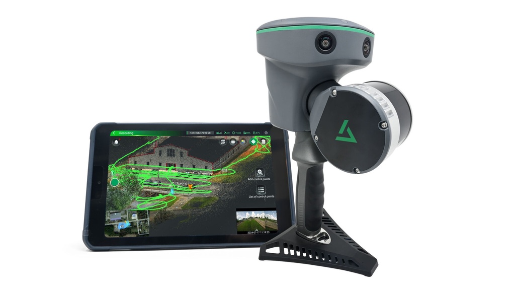
GeoCue TrueView Go LP360 Land Maintenance
LP360 Land Maintenance for GeoCue TrueView GO provides continued access to professional-grade LiDAR processing, visualization, and data extraction tools for your TrueView GO system. This maintenance plan ensures your workflow stays current, efficient, and fully supported as software features and performance continue to evolve.
Designed for surveyors, mapping professionals, and LiDAR operators, LP360 Land Maintenance delivers ongoing software updates, technical support, and compatibility improvements—helping you get the most value and accuracy from your GeoCue TrueView GO mobile LiDAR system.
What’s Included:
- LP360 Land software maintenance for TrueView GO
- Access to the latest updates and enhancements
- Ongoing technical support from LP360 experts
- Improved performance and workflow efficiency
- Compatibility with evolving hardware and data standards
Ideal For:
- Mobile LiDAR mapping and data collection
- Surveying and geospatial professionals
- Asset mapping and topographic workflows
- Organizations relying on consistent, up-to-date LiDAR processing tools
Maintaining your LP360 Land license ensures long-term productivity, accuracy, and support—making it a smart investment for teams who depend on reliable LiDAR data processing every day.
Specifications
| Software Option | Basic or Standard |