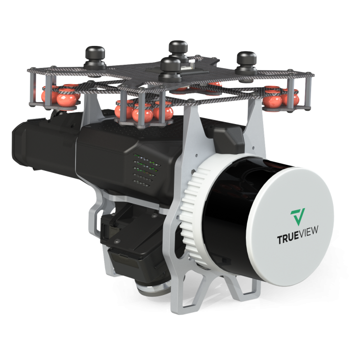
GeoCue TrueView 535 incl. Software
TrueView 535 3D Imaging System with Dual Drone and Optional Mobile Mapping Capability
The TrueView 535 builds upon the success of our best-selling TrueView 515. We’ve added a third LiDAR beam return to improve vegetation capture detail, two 26 MP oblique cameras and a third 26 MP nadir camera to improve photogrammetry deliverables (Version C.)
No Base Station Option Available
The TrueView 535APX* has the no-base-station option activated, providing unlimited PP-RTX post-processing, delivering survey-grade accuracy with less complexity in the field. It is also mobile mapping capable.
The GeoCue TrueView 535 Including Software is an advanced airborne LiDAR and imaging system designed for professional surveying, mapping, and geospatial data collection. Combining high-density LiDAR scanning with integrated imaging capabilities, it enables the rapid capture of accurate 3D point clouds and high-resolution imagery for a wide range of applications. This package includes the required software for data processing and workflow management, providing a complete solution for aerial mapping, corridor surveys, infrastructure inspection, forestry, mining, and engineering projects. Engineered for seamless integration with compatible UAV platforms, the TrueView 535 helps professionals maximize efficiency while delivering precise, reliable results.