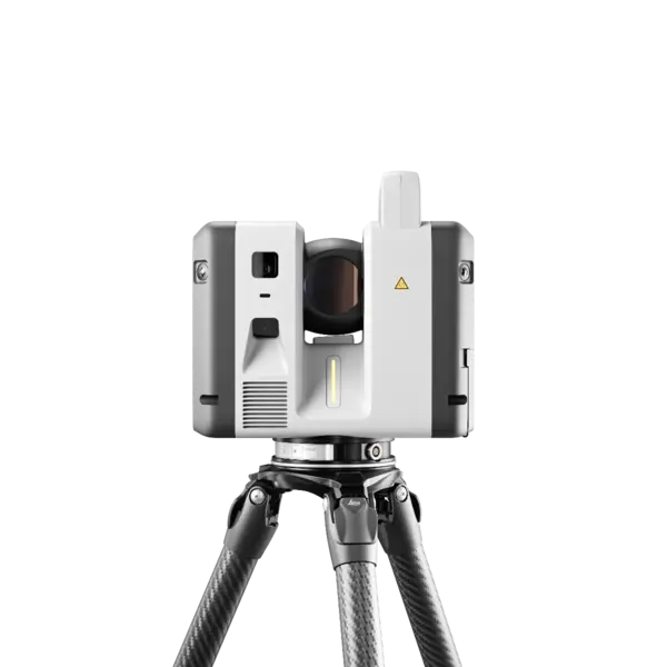
Leica Geosystems RTC700
The Leica Geosystems RTC700 is the flagship of the RTC series, combining maximum range, exceptional accuracy, and ultra-fast data capture for the most demanding reality-capture challenges. It scans up to two million points per second to a class-leading 270 meters, and adds a dedicated Area Scan mode that resolves detail down to 0.8 mm at 10 meters, the finest in the lineup.
• Up to 2,000,000 points per second
• Industry-leading range up to 270 m
• Area Scan detail down to 0.8 mm at 10 m (exclusive to RTC700)
• Full-dome scan + HDR image in ~1 min 40 s
• Complete on-board surveying suite (traverse, resection, known backsight & more)
• 72 MP / 432 MPx HDR imaging, VIS auto-registration, Livelink collaboration
• Laser Class 1 (eye-safe), IP55 rated
• Ideal for industrial plants, large-scale infrastructure, and complex surveying
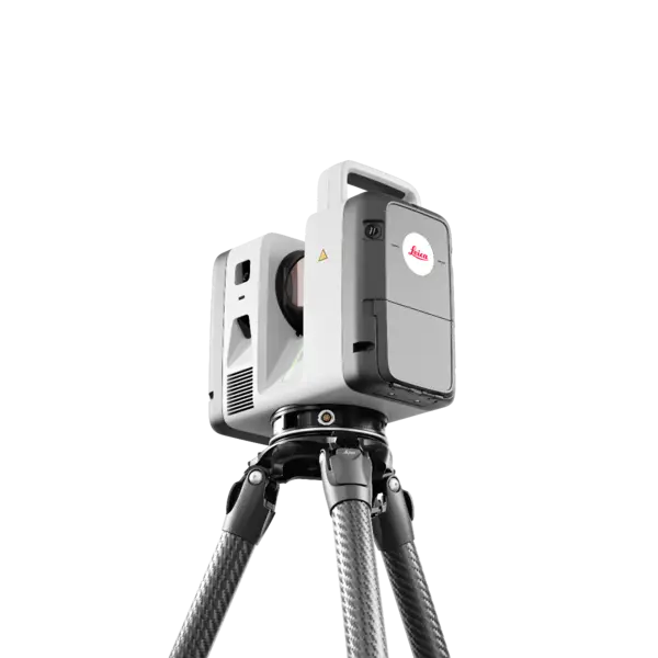
Leica Geosystems RTC500
The Leica Geosystems RTC500 balances speed, range, and operational flexibility for professionals who need a versatile 3D laser scanner across changing project conditions. It captures up to two million points per second and reaches out to 130 meters, completing a full-dome scan with a calibrated HDR image in roughly one minute and forty seconds, so you cover more ground in fewer setups.
• Up to 2,000,000 points per second
• Range up to 130 m
• Full-dome scan + HDR image in ~1 min 40 s
• 1.5 mm 3D point accuracy at 10 m
• 72 MP / 432 MPx HDR imaging, 360° × 300° spherical capture
• VIS real-time auto-registration and Livelink cloud collaboration
• Laser Class 1 (eye-safe), IP55 rated
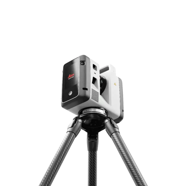
Leica Geosystems RTC300
The Leica Geosystems RTC300 is a high-speed terrestrial 3D laser scanner that delivers trusted Leica RTC performance in a streamlined, scalable configuration. Built for agile reality-capture workflows, it captures up to one million points per second at ranges up to 85 meters, pairing fast point-cloud acquisition with a calibrated 360° HDR image, so your team leaves the site with a complete, color-rich digital record of the space.
• Up to 1,000,000 points per second
• Range up to 85 m
• Full-dome scan + HDR image in ~2 min 30 s
• 1.5 mm 3D point accuracy at 10 m
• 72 MP / 432 MPx HDR imaging, 360° × 300° spherical capture
• VIS real-time auto-registration and Livelink cloud collaboration
• Laser Class 1 (eye-safe), IP55 rated
• Ideal for building construction, BIM, and general surveying
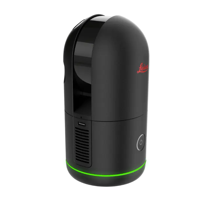
Leica Geosystems BLK360 Gen II
The Leica Geosystems BLK360 makes laser scanning easier, faster, and more reliable than other scanners on the market. It gives you the best combination of equipment, versatility, ease-of-use, and software so that you can take scans with ease and focus on your other project responsibilities. Plus, it puts powerful tools in the hands of scanning and surveying teams that need minimal training to get the scans that your teams need.
- 0.75kg (0.85 kg including battery)
- Height: 155mm / Diameter: 80 mm
- Scans in multiple resolution settings
- Mounts on a tripod
Leica Geosystems BLK2GO
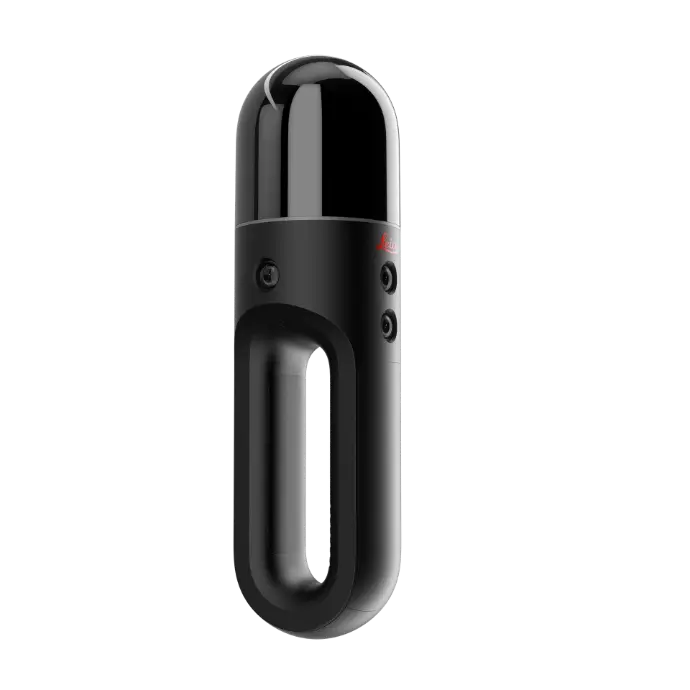
The Leica Geosystems BLK2GO is an advanced mobile imaging laser scanner designed to effortlessly capture a 3D digital representation of any space in motion. As you stroll through an area, this device swiftly and seamlessly generates precise digital twins, making it the most efficient solution for scanning expansive buildings, intricate structures, or vast environments.
- Walk and Scan – Capture accurate 3D point clouds simply by walking.
- 420,000 Points/Second – Fast, high-density LiDAR data collection.
- GRANDSLAM Technology – Combines LiDAR, cameras, and IMU for accurate positioning.
- Lightweight – Weighs just 1.7 lbs (775 g with battery) for one-handed scanning.
-
Indoor & Outdoor – Ideal for buildings, construction sites, and digital twin projects.
Leica Geosystems BLK2FLY
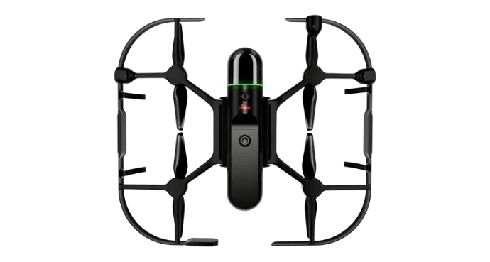
The Leica Geosystems BLK2FLY is the world's first fully integrated, autonomous flying laser scanner. It ushers in a new era for professionals across various sectors who require comprehensive aerial mapping and 3D modeling capabilities. Designed to navigate complex environments with ease, the BLK2FLY elevates spatial capture technology to unprecedented heights.
-
Autonomous Flight – Automatically scans buildings and structures with minimal pilot input.
-
Aerial LiDAR Scanning – Captures accurate 3D point clouds from above.
-
Advanced Obstacle Avoidance – Uses LiDAR, cameras, radar, and GNSS for safe autonomous flight.
- Hard-to-Reach Areas – Easily scans rooftops, facades, and elevated structures.
- Digital Twin Ready – Creates high-quality 3D data for BIM, inspections, and reality capture.