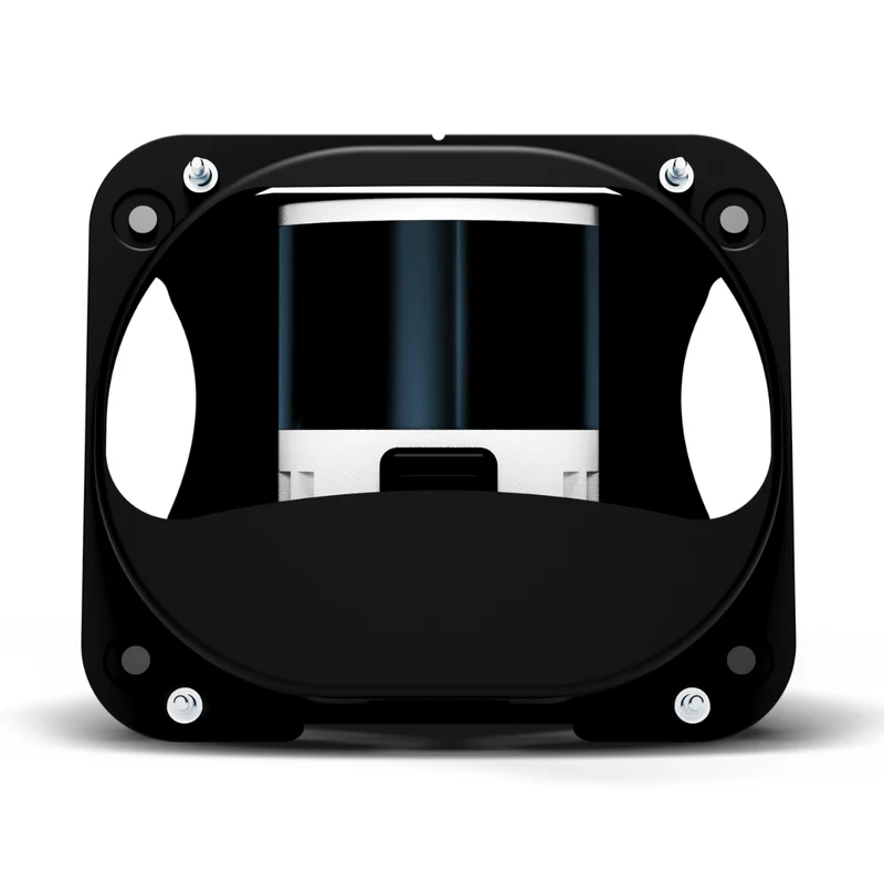
WingtraOne, Gen II Lidar Kit
Wingtra LiDAR | Setting New Standards in Aerial Mapping
The WingtraOne GEN II LiDAR Payload has set new standards in aerial mapping with unmatched efficiency, ease of use, and high accuracy. The Wingtra LiDAR is integrated seamlessly with the WingtraOne GEN II which supplies the power and command signals to operate the payload autonomously.
Maximize Efficiency
- Map up to 360 ha (890 ac) swiftly at 90 m (295 ft) altitude.
- No calibration needed with a quick one-minute initialization.
- Streamlined post-processing with the Wingtra LIDAR app for faster data turnaround.
Simplify Your Workflow
- Smooth data collection and processing for all level of expertise.
- Switch to photogrammetry when you need to with our easy plug-and-play GEN II platform.
- Take off and land anywhere thanks to VTOL capability.
Get Accurate and Reliable Insights
- Design projects based on high accuracy data, and cut out costly rework.
- Best-in-class sensor, and Inertial Labs IMU LiDAR kit for exceptional accuracy.
Wingtra LIDAR App - Streamlined Terrain Modeling Generation
- A comprehensive solution - from data acquisition to digital terrain model generation.
- Perfectly integrated with the WingtraOne GEN II drone to ensure a streamlined workflow.
- An intuitive interface simplifies LiDAR data processing for any experience level.
Experience high-efficiency coverage and consistently reliable, superior data with Wingtra LiDAR.