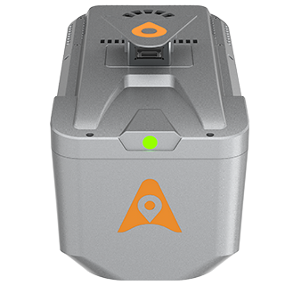
CHCNAV AlphaAir 10 (AA10) Advanced Aerial LiDAR System
The CHCNAV AlphaAir 10 (AA10) Advanced Aerial LiDAR System is a state-of-the-art solution for construction and surveying professionals seeking high-precision mapping and analysis capabilities. This advanced LiDAR system is designed to capture detailed 3D data with exceptional accuracy, making it ideal for a variety of applications, including land surveying, infrastructure development, and environmental monitoring.
With its lightweight and compact design, the AA10 is easy to transport and deploy, ensuring that you can maximize productivity without compromising performance. The system features advanced scanning technology that delivers high-density point clouds, allowing for meticulous site assessments and terrain modeling. Its intuitive software integration facilitates seamless data processing and analysis, transforming complex information into actionable insights.
Whether you're working on large construction projects, topographic mapping, or urban planning, the CHCNAV AlphaAir 10 provides the reliability and precision needed to make informed decisions. Equip your team with this cutting-edge technology to enhance operational efficiency and ensure the success of your projects in any environment.