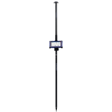
Carlson RTK5 GNSS System
Achieve centimeter-level accuracy with the Carlson RTK5 GNSS System — a rugged, high-performance surveying solution engineered for precision mapping, construction layout, and civil engineering applications. Built on advanced GNSS technology, the RTK5 delivers reliable real-time kinematic positioning you can trust in challenging field conditions.
Whether you’re collecting control points, staking construction sites, or performing topographic surveys, the RTK5 combines exceptional accuracy with rugged durability. Designed for professionals who demand dependable performance, this system integrates seamlessly with industry-standard software and workflows.
Key Features
- Centimeter-level RTK accuracy for precise positioning
- Multi-constellation GNSS support (GPS, GLONASS, Galileo, BeiDou)
- Robust construction built to endure harsh jobsite environments
- Fast initialization and stable signal tracking
- Seamless integration with Carlson and third-party survey software
- Flexible base and rover configurations
- Long battery life for full workdays in the field
Ideal For:
- Land surveying & boundary work
- Construction layout & stakeout
- Topographic & as-built data collection
- Engineering and mapping projects
Delivering professional-grade performance with ease of use, the Carlson RTK5 GNSS System is the dependable choice for surveyors and construction professionals who need accurate, real-time positioning day after day.